Karen woke me up at 0530 yesterday morning and said she wanted to hike up this mountain, the fifth highest in the park. We had already hiked up Chapin and Chiquita in previous years, so this hike would complete our quest to hike all three (CCY) of these dominant peaks rising above and to the east of the Alpine Visitors Center in Rocky Mountain National Park.
Now if you know me, you know I like to sleep in until about 0730, and I'm not a happy camper until I have my morning coffee. On the other hand, I'm always up for a good hike, so I was happy to climb out of bed and grab the necessary gear for this hike.
Fall has already come to the tundra painting it with shades of gold, orange, and red. We enjoyed the autumn colors on the way up. To save time, distance, and elevation gain, we contoured around Chapin and Chiquita and headed straight up to our goal. Views from the summit were spectacular, as you can see in these pictures.
 |
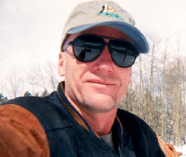
Panoramic view from the summit of Ypsilon Mtn. looking eastward. Those are the Spectacle Lakes more than two thousand feet directly below us. Karen at the start of our hike at Chapin Pass.  Spectacular reds in the ground cover.  View to the west towards the Alpine Visitor Center.  Well delineated trail as we climb out above tree line. The trail is easy to follow until the saddle between Chapin and Chiquita. From there, it becomes thready, tenuous, and vague. At that point one begins looking for rock cairns to follow, or just picks a line to follow over the tundra.   Pica harvesting its winter food supply.   Alpine sunflower.  Fall colors on the tundra. Dark cliffs of Mt. Chapin rising on the right.  On our way up and around Chiquita. Mt. Chapin rising up behind and below Karen.  Self portrait with Ypsilon Lake below us.  Spectacle Lakes 2,100 feet below. Picture taken between two of the lesser summits of Ypsilon Mountain.  Karen (in pink) nearing the northern-most, and highest, summit of Ypsilon Mountain.  Karen at the highest, but more poorly constructed of two wind shelters on top of the mountain.  This wind shelter was a bit lower, but provided us with a more comfortable spot for our lunch break.    Yours truly with Meeker, Longs, Pagoda, Chiefs Head, and McHenrys (to name just a few of the visible peaks) in the background.   View back to the southwest. Notice the switchbacks of Fall River Road leading to Trail Ridge Road below us. If you look closely, the Alpine Visitor's Center is at the top left of the road in the saddle of the mountain.        |